
Almost every Florida buyer does the same thing at the same moment: they type the address into a search box, and what comes back is a number about a county.
It might be reassuring - a low crime rate, a modest share of the county in a floodplain. It might be alarming. Either way, it rarely matches the house in front of you, and that mismatch is not a data problem. The data is fine. It is just describing a different thing than the one you are buying.
The average describes a place you are not buying
County and city statistics are summaries of large areas, built for planners, agencies, and policy. They answer "how is this jurisdiction doing." A buyer needs to know "what about this parcel, on this street, at this price."
Those are different questions, and the gap between them is where most pre-purchase confusion comes from. Here is what it looks like in each of the three areas buyers research.
Flood zone: county share vs. the parcel
A county report might say that only a small share of its land sits in a high-risk flood zone. That is true, and it tells you nothing about your lot.
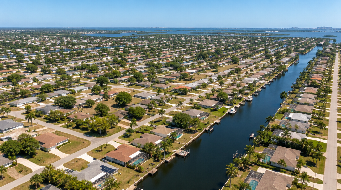
Flood risk is mapped at the parcel level, and it varies block to block. A county can be overwhelmingly Zone X and still contain a canal-front lot in Zone AE, a coastal strip in Zone VE, and a low pocket where water collects after a summer storm. Two houses on the same street can map differently. The county number is real; it just cannot see the difference.
What actually matters here is the zone on the property's specific map panel, and when that panel took effect. Maps get revised, and a revision can move a parcel.
Crime: county per-capita vs. the block
Per-capita crime statistics divide incidents by population over a wide area. Two problems follow.
The first is geography. A county of a million people averages a gated community and a highway corridor into one figure. Neither is the house you are considering.
The second is the denominator. Per-capita math behaves oddly across areas of different size and density, and reporting rates differ between agencies. A relatively quiet block inside a high-average city can be a better place to live than an average block in a low-average county. The ranking flips once you narrow the frame.
Address-level means reported incidents within a radius of the actual street, read over several years, not a jurisdiction-wide rate.
Price: county median vs. real comps
County median sale price is the number buyers lean on most, and it is the least suited to the job.
A median blends everything: condos and single-family homes, new builds and 1960s block, quarter-acre lots and waterfront. It averages across neighborhoods that share a county name and nothing else. If you are buying a three-bedroom house built in 2004, the county median - dragged around by whatever mix sold that quarter - is not a valuation. It is a mood.
What you need are sold comps matched to the property: similar square footage, similar age, similar lot, ideally the same subdivision, sold recently enough to reflect current conditions. That comparison is narrower, and far more useful.
Why the averages are not lying
None of this is a criticism of the data. County and city statistics are honest summaries of a large area, and they are the right tool for the questions they were built to answer - funding, planning, public health, regional trends.
They simply were not built for a single purchase decision. Buyers inherit them by default because they are what surfaces first in search, not because they fit the question.
What "address-level" actually means
It is the same public data, framed differently:
- The flood zone from the property's own FEMA map panel, with the effective date
- Reported incidents within a radius of the street, read over time
- Sold comps matched to the home's size, age, and lot
- Nearby context that shapes both risk and value
Nothing new is invented. The frame just narrows until it is about the property you would actually own.
Doing it yourself, or having it summarized
You can assemble this yourself, and it is free. The flood zone lives in FEMA's map service and your county property appraiser. Crime maps come from the county sheriff or city police. Comps come from the appraiser or your agent. Four sources, four formats, four vocabularies.
The cost is not missing information. It is fragmented information - and that fragmentation is exactly why buyers end up trusting a county average they knew was too broad.
That is the gap the TerraWise AI Property Report closes. You give it one address; it returns flood and hurricane exposure, neighborhood and safety context, and market position, summarized in plain language rather than raw tables. One report, one clear read, before you sign.
Start with the county number if you like. Just do not make the decision there.